
Getting Around Billings MT: A Local’s Guide to Commutes, Transit, and Trails
Welcome to the Magic City. If you are planning a move here or just visiting for an extended stay, getting the lay of the land is priority number one. Billings is geographically unique—we are sandwiched between the sandstone "Rimrocks" to the north and the Yellowstone River to the south. This long, narrow layout dictates how traffic flows and how neighborhoods connect.
To be upfront: Billings is very much a driving city. While we have public transit options and a growing trail system, a personal vehicle is the standard for daily life here. However, the good news is that we often call this a "20-minute city." Whether you are heading to work, the grocery store, or the trailhead, you can usually get there in under 20 minutes.
Let’s break down exactly what you need to know about navigating the roads, the bus system, and our unique winter logistics.
Driving in Billings: The Primary Way to Get Around
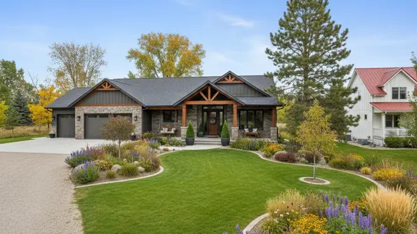
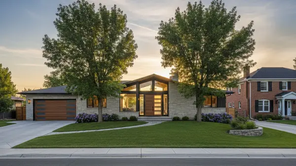
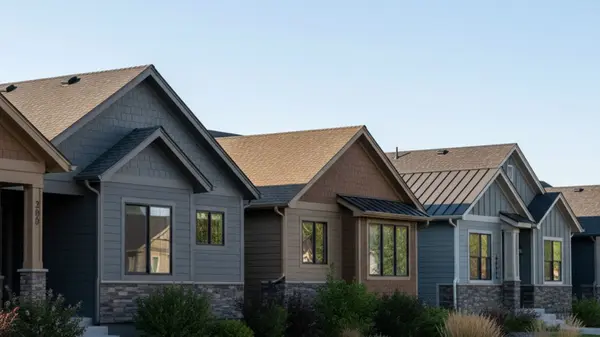
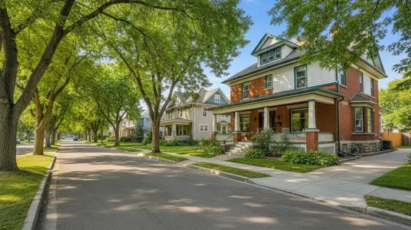
Because the city stretches east-to-west, our road system relies heavily on a few major arterials. If you are looking at homes for sale in Billings, you’ll quickly learn that your commute depends almost entirely on how close you are to these main veins.
Main Street is the critical connector that links the Heights (northeast) to downtown. On the other side of town, 24th Street West acts as the retail spine of the West End, lined with everything from big-box stores to local dining. Rimrock Road runs parallel to the Rims and offers a faster, scenic east-west alternative to the busier commercial streets.
While traffic here is mild compared to major metros like Seattle or Denver, we do have bottlenecks. The most notorious is the area around the MetraPark fairgrounds. This is the funnel point connecting downtown to the Heights. During the morning rush (7:30 AM – 8:30 AM) and evening rush (5:00 PM – 6:00 PM), things can slow down significantly here.
When it comes to parking, you won't face many headaches.
-
Downtown: You will find metered street parking and parking garages. It’s smart to download the local parking app to manage payments without digging for quarters.
-
Suburbs/West End: Parking is almost universally free and plentiful in retail lots and residential streets.
-
Speed Limits: Keep an eye on your speedometer. Local police strictly enforce limits, especially in school zones and on the busy 24th Street West corridor.
Winter Commuting: Snow Zones and Safety
If you are moving from a warmer climate, driving in a Montana winter is likely your biggest concern. We take snow removal seriously, but the system might be different than what you are used to.
The city prioritizes major arterials like Main Street, King Avenue, and 27th Street. These get plowed immediately. Residential streets are secondary. To manage this, Billings uses a "Snow Zone" system for big storms. The city is divided into zones, and plowing rotates. When a Snow Zone alert is declared, residents in that specific zone must move their cars off the street so the plows can do a curb-to-curb clear. If you leave your car parked on the street during your zone's active time, you might get towed.
Here is a quick safety checklist for winter driving here:
-
Vehicle Choice: While you can survive with front-wheel drive, an All-Wheel Drive (AWD) or 4WD vehicle is standard for most locals.
-
Tires: Snow tires are highly recommended, though not legally mandatory. They make a massive difference on icy intersections.
-
Sidewalks: If you own a home, know the local ordinance: property owners must clear their sidewalks of snow and ice within 24 hours of a storm ending. It’s not just about avoiding fines; it’s about keeping the neighborhood walkable for everyone.
MET Transit: Billings' Public Bus System
While most residents drive, the MET Transit system provides a reliable alternative for getting to key areas like Downtown, the Heights, the West End, and the Medical Corridor. It is a solid option for commuters working standard hours or students heading to the university.
The buses generally run from about 5:45 AM to 8:00 PM on weekdays, with Saturday service available on most routes. However, it is crucial to note that there is currently no Sunday service. If you are relying on public transit for a weekend job or errands, you will need to plan ahead.
Navigating the system has gotten much easier with technology. Locals use the Umo Mobility App to track buses in real-time and pay fares digitally, so you don't need exact change. If you are a cyclist, you’ll be happy to know that all MET buses are equipped with bike racks, making "bike-and-ride" commuting a viable option during the warmer months.
Current Fare Snapshot:
-
Adult Single Ride: ~$2.00
-
Day Pass: ~$4.00
-
Monthly Pass: ~$28.00
-
Note: Rates are approximate; always check the official MET schedule for the latest updates.
Billings Logan International Airport (BIL)
For many newcomers, access to travel is a huge factor in deciding on living in Billings. We are served by Billings Logan International Airport (BIL), which sits right on top of the Rims, offering one of the best views in the city.
BIL is a regional hub, meaning it serves a massive geographic area covering eastern Montana and northern Wyoming. You will find major carriers including United, Delta, Alaska, and American. We have direct daily flights to major hubs like Denver, Salt Lake City, Minneapolis, and Seattle, plus seasonal direct flights to places like Chicago.
The best part about flying out of BIL is the convenience. Unlike navigating O'Hare or LAX, you can get from the curb to your gate very quickly. Long-term parking is also reasonably priced compared to national averages. There is also a MET bus route that services the airport if you prefer not to drive, though most locals drive or catch a rideshare.
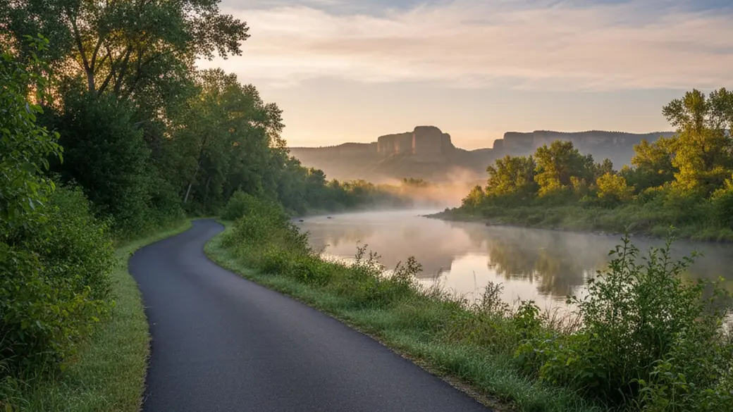
Biking and Walking: The Trail System
Billings is working hard to become more pedestrian and bike-friendly. While we aren't fully there yet city-wide, our recreational trail system is fantastic.
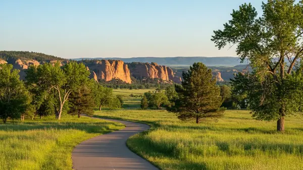
The crown jewel is the Heritage Trail System (often called the Jim Dutcher Trail). This paved path runs for over 6.5 miles along the Yellowstone River, connecting the Heights to riverfront parks. It’s popular for both exercise and commuting if you work near the river corridor.
Up north, the Swords Park Trail runs along the edge of the Rimrocks. It offers paved riding with incredible views of the city and the mountains in the distance. The city is also working on closing the gaps in the "Marathon Loop," a project aiming to create a continuous 26-mile circle around the city.
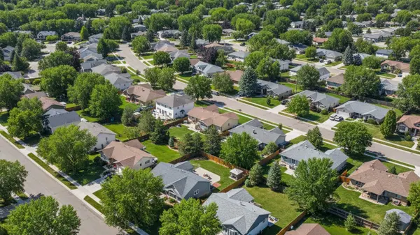
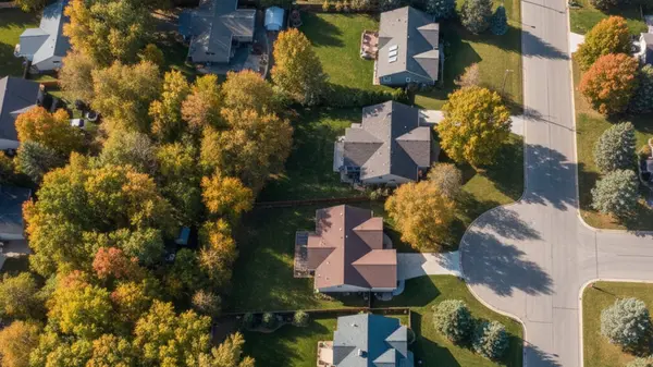
In terms of walkability, it really depends on your neighborhood. Downtown Billings has a high walkability score—you can easily walk between breweries, theaters, museums, and apartments. However, once you get into the suburbs like the West End or the Heights, things spread out, and walking to the grocery store becomes less practical.
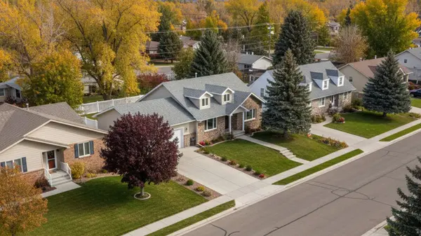
Commute Times: Suburbs to Downtown
When you are looking at real estate, the question isn't just "how far is it?" but "how long does it take?" Here is a breakdown of typical drive times to Downtown Billings from the major residential areas.
Billings Heights: The Heights is a large residential community northeast of town.
-
Distance: ~4 miles
-
Drive Time: 10–20 minutes. This varies heavily based on traffic at the Metra/Main Street pinch point.
-
Bus: Route 16 is a popular option, taking about 25 minutes.
The West End: This is where much of the new growth is happening.
-
Distance: ~5–7 miles
-
Drive Time: 15–25 minutes. You can take surface streets like King Avenue (slower, more lights) or jump on Interstate 90 for a quicker shot downtown.
Lockwood: Located east of the city, Lockwood offers a slightly more rural feel but quick highway access.
-
Distance: ~6 miles
-
Drive Time: ~10 minutes via I-90. It’s often faster than driving from the West End because you avoid stoplights.
South Side: Older, historic neighborhoods south of the tracks.
-
Distance: ~1–2 miles
-
Drive Time: ~5 minutes. You are practically downtown already.
Rideshare, Taxis, and Car Rentals
If you don't have a car or want a night out without driving, you have options. Uber and Lyft operate in Billings and are generally reliable for getting around town or heading to the airport. However, availability can be spotty if you are trying to get a ride from the outer edges of the Heights or West End very late at night or early in the morning.
Traditional taxis like City Cab and Yellow Cab are available but are less visible than rideshares; you usually need to call ahead rather than flagging one down. If you are just visiting, all major car rental agencies (Hertz, Enterprise, Avis) have counters right at the airport.
Frequently Asked Questions
Is Billings, Montana a walkable city?
Downtown Billings is very walkable, with easy access to dining, entertainment, and businesses on foot. However, the city as a whole is quite spread out, and most residential neighborhoods in the West End or Heights are not designed for pedestrian commuting.
Do I need a 4WD or AWD vehicle in Billings?
It is highly recommended. While the city plows major roads quickly, residential streets can remain icy and snowy for days. A front-wheel-drive car with good snow tires can work, but 4WD or AWD provides much better peace of mind during winter storms.
Does the MET bus run on Sundays?
No, currently the MET Transit system does not operate on Sundays. Buses run Monday through Saturday, so you will need to arrange alternative transportation like driving or rideshare for Sunday travel.
How early should I get to the Billings airport?
Because BIL is efficient and smaller than major hubs, arriving 90 minutes before your flight is usually plenty of time to check bags and get through security. You rarely need the 2-3 hour buffer required at larger international airports.
Categories
Recent Posts


Broker | License ID: RRE-BRO-LIC-64264
+1(406) 850-3065 | shawna.morales@engelvoelkers.com